/>
/>

SOFTWARE & SERVICES

DIGITAL CHARTS


LATEST BLOG POSTS
-
Posted: April 26, 2024Categories: Sales
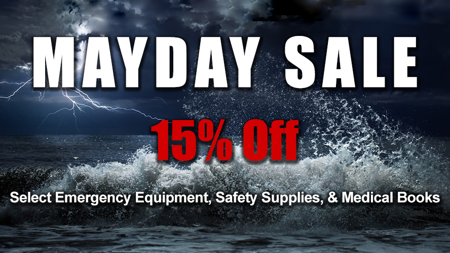 Read more »For a limited time, save 15% of select emergency equipment, safety supplies, and medical books....
 -
Posted: April 11, 2024
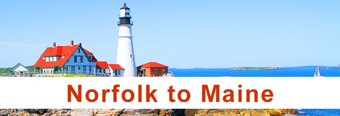
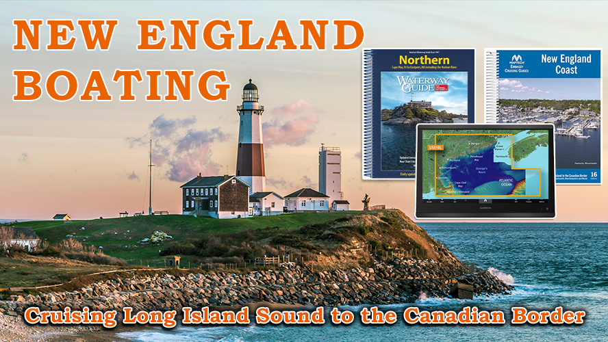 Read more »No matter where you choose to go boating in New England, you're sure to be met with breathtaking views, charming coastal towns, and endless opportunities....
 -
Posted: March 29, 2024Categories: Travel Tips
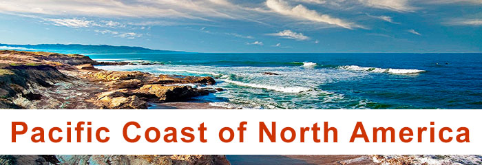
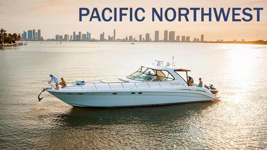 Read more »The Pacific Northwest is one of the last frontiers in North America for the voyager who’s looking for more than just a sandy beach with palm trees. With c....
5 ⭐ RATED RETAILER FOR TOP TRAVEL DESTINATIONS
Submit a Google Review